Lochdale Area Plan
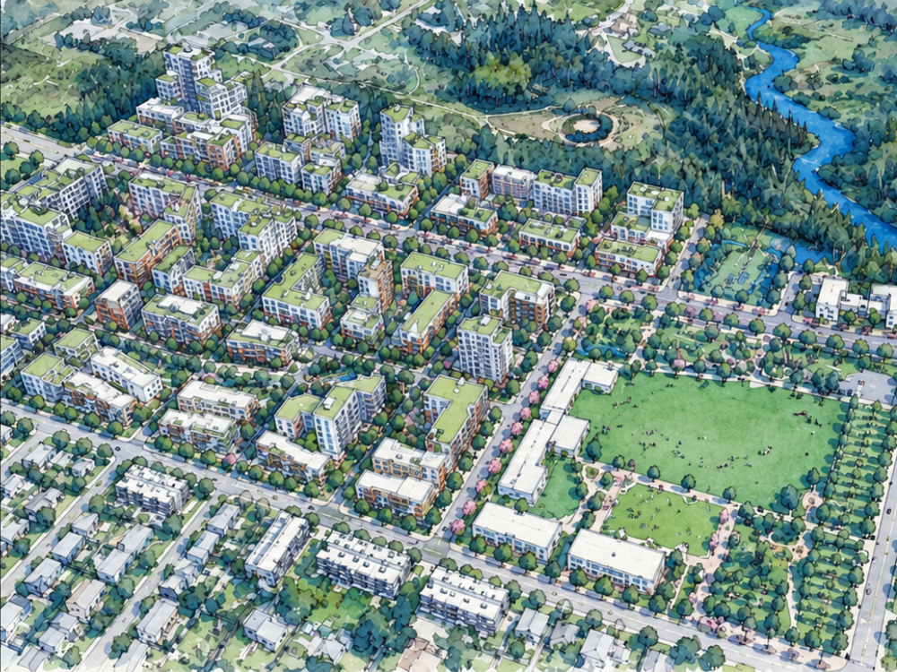
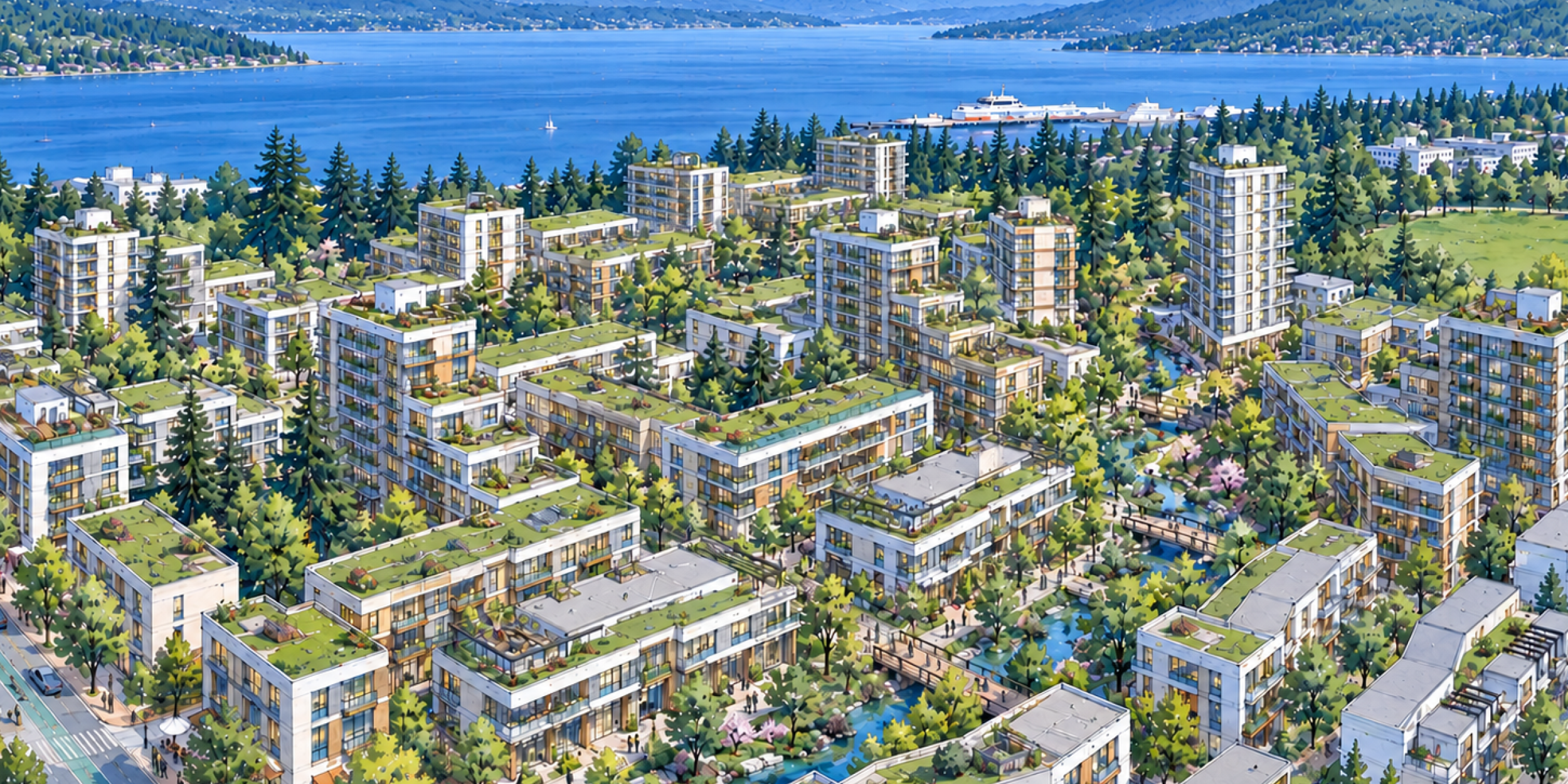
Burnaby’s Lochdale neighbourhood is envisioned as a vibrant urban village where parks, greenways and pedestrian-oriented streets form the foundation for a more connected and sustainable community. Spanning 101 hectares along the Hastings Corridor, the Lochdale Area Plan establishes a framework for neighbourhood growth that brings together new development, ecological systems and an inviting public realm.
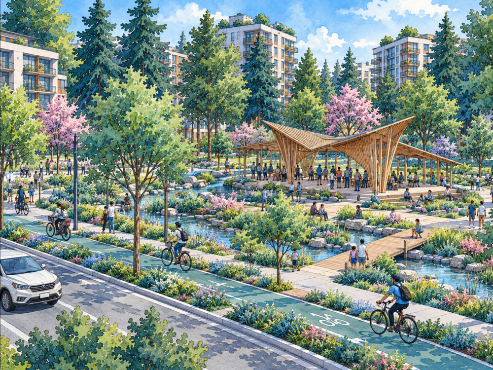
PWL led the urban design and co-led the comprehensive vision plan with Hotson Architects, exploring how the neighbourhood could accommodate future growth while strengthening its natural systems and community connections. The plan places blue-green infrastructure at the centre of the neighbourhood’s transformation, extending the Heron Creek watershed into a connected network of parks, open spaces and greenways that support biodiversity, stormwater management and urban forest enhancement.
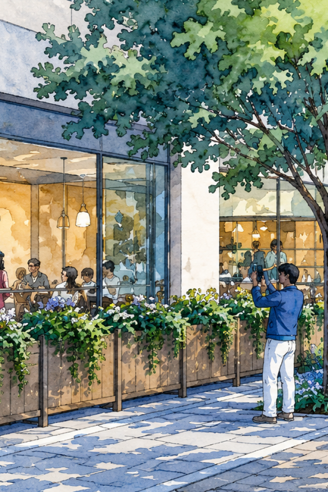
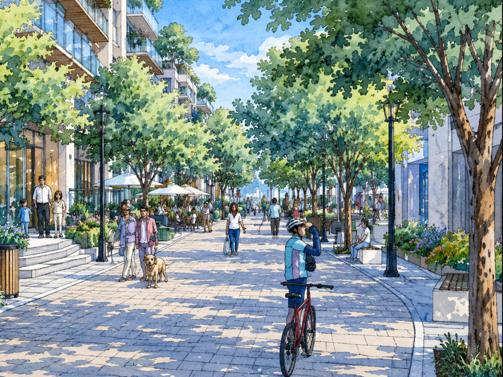
A series of distinct public spaces and connections help define the neighbourhood’s future character. The Great Trail is reimagined as an animated urban mews, complemented by a central community plaza, the Francis Street Greenway and new north-south pedestrian and cycling routes. Together, these spaces create opportunities for gathering, recreation and everyday movement while strengthening connections between residential areas, local amenities and the surrounding landscape.
The plan also explores a more pedestrian-focused approach to urban development, reducing the dominance of vehicles and integrating sustainable stormwater strategies into streets and public spaces. By bringing ecological performance, active transportation and community life together, the Lochdale Area Plan establishes a framework for a more resilient, walkable and connected neighbourhood.
Location
Territory Acknowledgement
Date
Owner + Client
Collaborators